
How can geophysics help protect coastal freshwater?
Millions of people depend on coastal aquifers – underground reservoirs of freshwater. Professor Erwan Gloaguen, a geophysicist at the Institut national de la recherche scientifique in Canada, is developing new ways to monitor and protect these vital resources. By combining low-cost sensors, geophysical monitoring and machine learning, Erwan and his colleagues aim to detect seawater intrusion before drinking-water supplies become contaminated.
 Talk like an …geophysicist
Aquifer – an underground layer of rock or sediment that stores water and allows the water to move through it
Coastal erosion – the wearing away of land along the coast by waves, currents and other natural processes
Groundwater – water that exists underground
Groundwater recharge – the process by which water enters and replenishes underground water stores
Machine learning – a type of artificial intelligence in which computers learn patterns from data to make predictions or decisions
Salinity – the amount of dissolved salt in water
Seawater intrusion – the movement of seawater into freshwater aquifers, making the freshwater saltier
Upconing – the upward movement of saltwater beneath a well when too much freshwater is pumped out
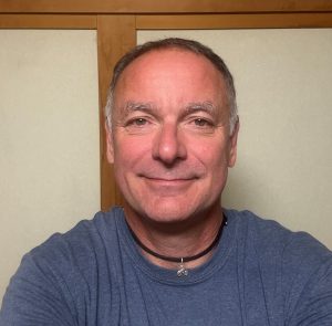
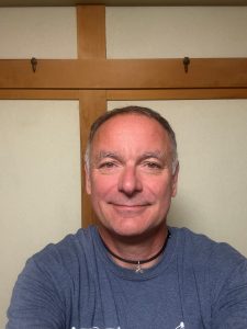
Professor Erwan Gloaguen
Eau Terre Environnement Research Centre, Institut national de le recherche scientifique, Canada
Fields of research: Geophysics; machine learning
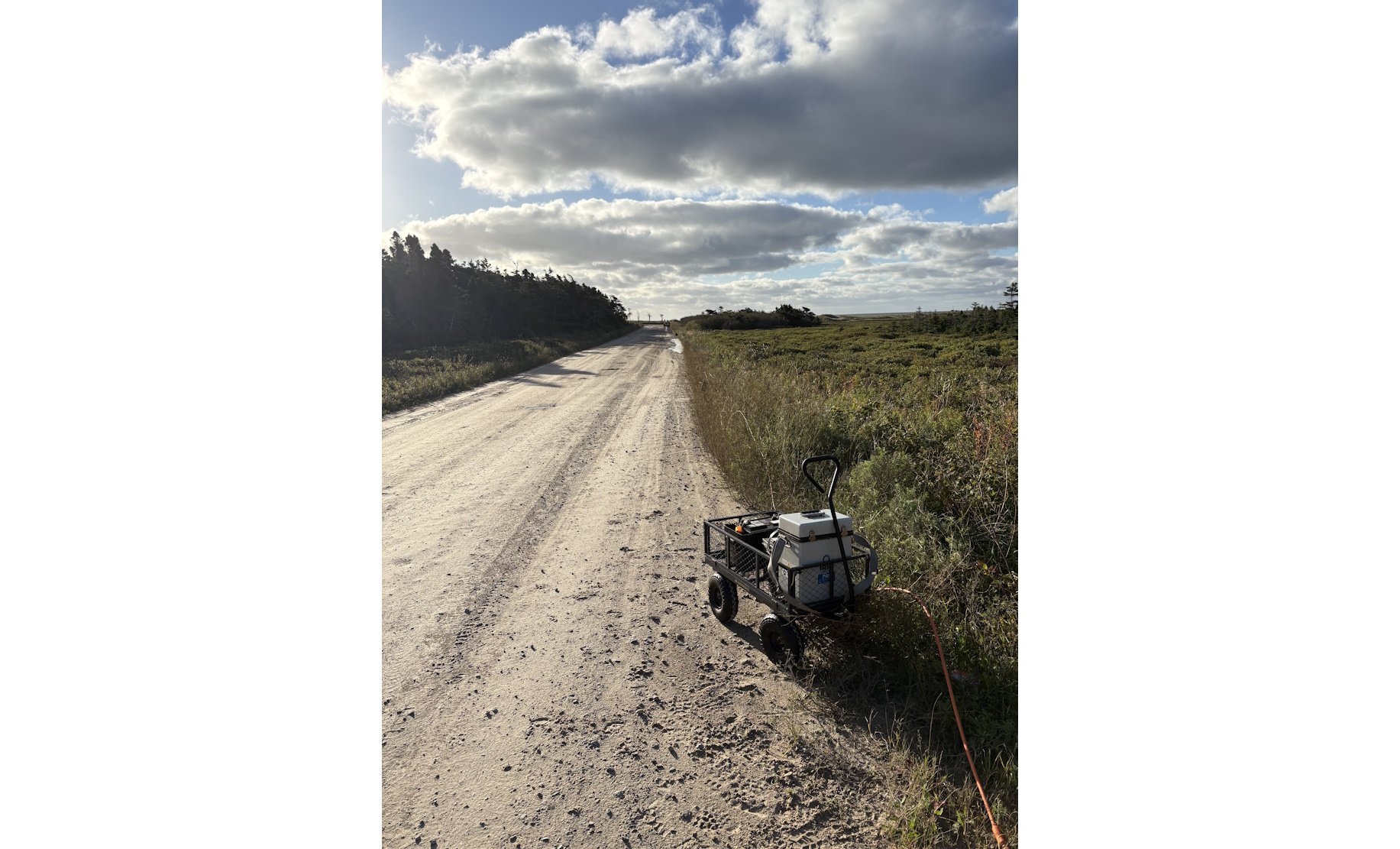
Research project: Monitoring coastal aquifers in Quebec, using the Magdalen Islands as a case study
Funder: Fonds de Recherche Québécois – Nature et Technologie
Partners: Aberdeen University; EDF; Polytechnique Montréal; BRGM; Geostack inc.
DOI: doi.org/10.33424/FUTURUM741
Coastal regions are home to more than one billion people, many of whom depend on underground freshwater stored in aquifers – layers of rock or sediment that hold and transmit groundwater. In coastal areas, freshwater sits above denser seawater, forming a transition zone that moves with groundwater recharge, pumping and varying sea level.
“These aquifers are vital to human populations,” explains Professor Erwan Gloaguen from the Institut national de le recherche scientifique. “They underpin drinking-water supplies, food production, tourism, industry and ecosystem stability.” For many coastal and island communities, there is no alternative source of freshwater.
What are the threats to coastal aquifers?
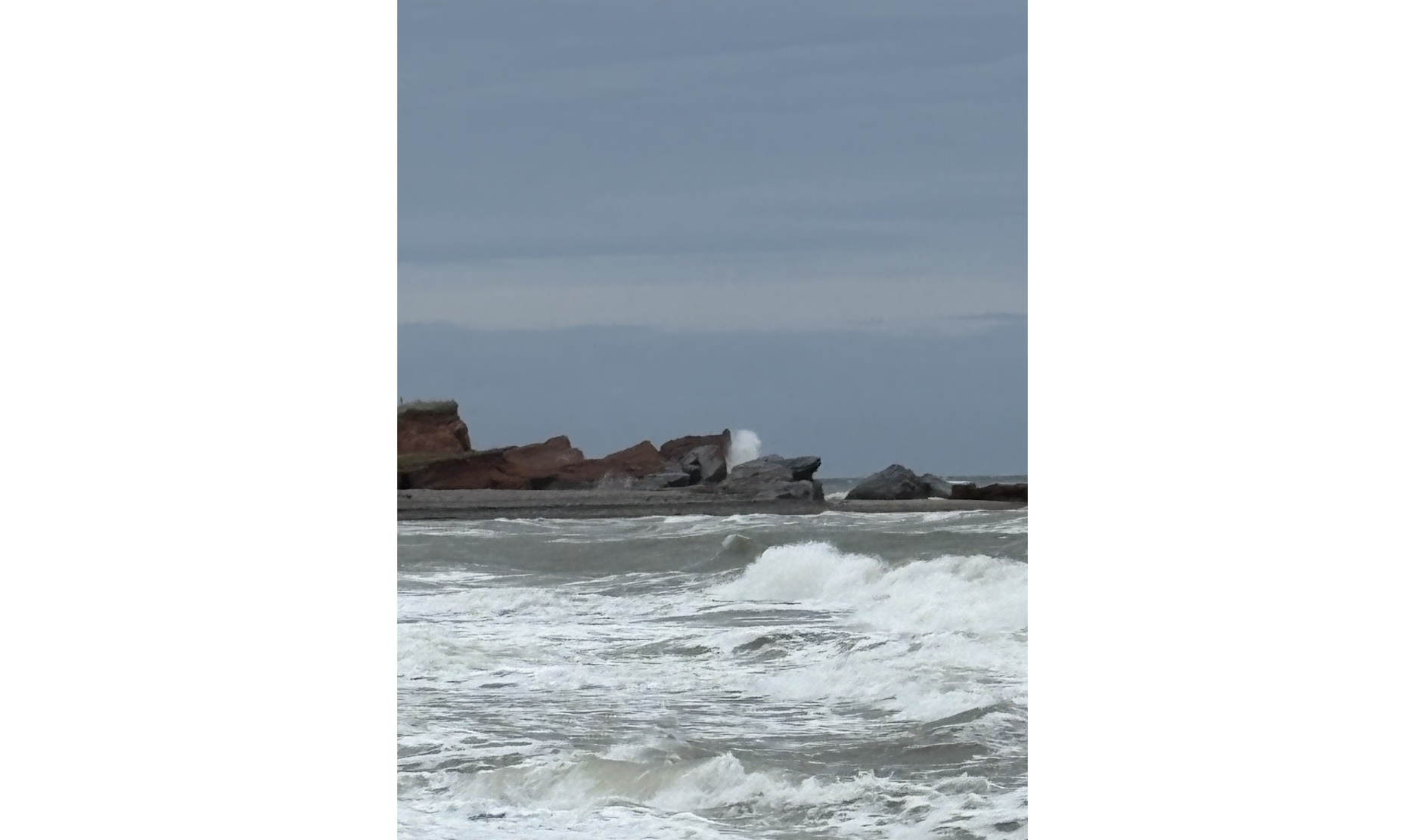
Coastal aquifers face several threats to their freshwater supplies. Seawater intrusion (when saltwater moves into freshwater) can increase groundwater salinity, while climate change can raise sea levels, change rainfall patterns and increase evaporation. Population growth and activities such as agriculture, tourism and industry can also increase groundwater extraction. When too much water is pumped from wells, the saltwater–freshwater interface can move upwards towards the well in a process known as upconing. Coastal erosion can further reduce freshwater storage.
As groundwater becomes more saline, drinking-water supplies, food security and livelihoods can be threatened, while tourism, other industries and coastal ecosystems can also be affected. “Crucially, once a pumping well is salinised, recovery takes decades, making the damage effectively irreversible at a human timescale,” explains Erwan.
Why do we need to monitor coastal aquifers?
“Monitoring is essential because the freshwater–saltwater interface moves silently underground,” explains Erwan. “By the time salinity appears in a pumped well, the intrusion is already too late to fight.” Continuous monitoring can provide an earlier warning, allowing water managers to detect changes in the saltwater front and adjust pumping before water quality is affected.
Erwan and his team use geophysical techniques to detect saline groundwater. They also collect groundwater samples and analyse their chemical composition to understand how freshwater and seawater mix. The measurements are then fed into computer models that simulate how water moves through the aquifer. New observations are continuously used to update these models, while analysis shows where salinity is likely to occur and how certain the predictions are. This can help managers adjust pumping before saltwater reaches a well.
How is the team developing low-cost sensors to help monitor coastal aquifers?
Erwan and his colleagues from universities around the world are developing low-cost sensors using readily available hardware. Powered by solar energy and connected wirelessly, the sensors can collect measurements with little human intervention. They could reduce monitoring costs by an estimated 50-70% compared with standard equipment. Their designs, software and manuals will also be openly available, making the technology easier to use in lower-income regions.
The team is focusing on pumping wells where the risk of saltwater intrusion is greatest. Pumping can draw the saltwater–freshwater interface upwards towards a well, so nearby sensors can provide an early warning before the water becomes too salty. They also give local communities a direct role in monitoring and protecting their water supply.
How will the team use sensors on the Magdalen Islands?
Despite having good groundwater management policies, the Magdalen Islands in eastern Canada are still vulnerable to upconing, making them a perfect test site for the project. Water is used for economic development and demand rises sharply during the summer tourist season, and freshwater storage is also being reduced by coastal erosion.
During fieldwork, the team will deploy its low-cost sensors to measure groundwater flow, electrical properties and geochemistry. These results will be compared with conventional sampling to map the mixing of freshwater and seawater. Social scientists on the team will also work with local residents through surveys, interviews and focus groups to understand how they view the risks and new technology. Residents will help design and maintain the monitoring network and digital tools, with their feedback helping the team decide where sensors should be placed and how the results should be presented.
How can coastal aquifers be protected?
Protecting coastal aquifers requires a combination of better monitoring and careful water management. This includes controlling pumping and the location of new wells, managing seasonal demand, protecting areas where groundwater is replenished and involving communities in decisions about their water resources.
“Our project supports these steps concretely,” says Erwan. The sensors can provide early warnings of changes in the saltwater–freshwater interface, while the computer model uses these observations to forecast how the aquifer might respond to different conditions. Managers can then explore scenarios such as increased pumping during the tourist season, a dry summer or rising sea levels before making decisions.
The team are also developing augmented-reality tools to help visitors understand the vulnerability of freshwater resources, as well as a video game to introduce the issue to middle-school students.
What does the future hold?
The next stage is to move the project’s technologies from prototypes towards practical use. This includes developing a working low-cost monitoring system, creating detailed maps of seawater intrusion, and improving the digital models and data-assimilation methods that use new observations to update predictions.
Erwan and his team also want to improve how geophysical monitoring and machine learning work together, making predictions faster and more reliable while developing sensors that are cheaper and more autonomous. By making their methods, software, sensor designs and manuals openly available, they hope the technology can be adapted by smaller agencies and communities in coastal regions around the world.
About geophysics
Geophysics uses physics, mathematics and data to study what lies beneath the Earth’s surface. Because it is not possible to drill everywhere, geophysicists use electrical, electromagnetic and seismic signals to build images of the subsurface. These methods can reveal hidden structures such as aquifer porosity, faults, mineral systems and magma chambers, linking fundamental science with practical challenges including water security, natural hazards, energy and climate adaptation.
Studying the Earth in this way often requires researchers from different disciplines and countries to work together. Erwan’s project brings together hydrogeologists, geophysicists, geochemists, data scientists and social scientists to test the monitoring framework under different climatic, hydrogeological and socio-economic conditions. Coordinating fieldwork, data and methods across regions can be challenging, but shared sensor designs and protocols, regular communication, and strong local partnerships help keep the work consistent. “Each site teaches the others,” explains Erwan. For example, a sensor that performs well in one environment can inform its use in another, while lessons about water governance in Scotland can help shape community engagement in Canada.
This combination of different disciplines is also part of what makes geophysics an evolving field. “Geophysics is exciting because it lets us see the invisible in the same way that radiologists can see inside the body,” says Erwan. Reconstructing the subsurface from indirect and often noisy measurements is a complex scientific challenge, but it can also lead to practical decisions that protect communities and natural resources. New technologies are expanding these possibilities further, with opportunities in machine learning, low-cost open-source instrumentation, satellite observation, geothermal energy, carbon storage and critical-minerals exploration.
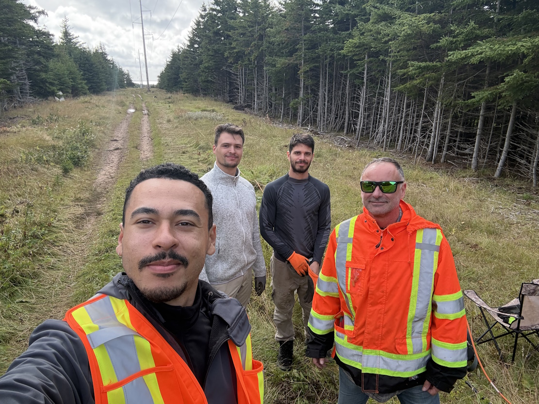
This variety is reflected in the day-to-day work of a geophysicist. There is no single typical day: fieldwork might involve deploying electrodes on the Magdalen Islands, checking solar-powered sensor stations or discussing results with local water managers. Other days may involve processing geophysical data, running simulations, assimilating new observations, mentoring students, writing papers and working with international collaborators. “The constant thread is moving back and forth between the real Earth and its digital representation,” say Erwan.
Pathway from school to geophysics
At school, focus on building a strong foundation in science and mathematics. Physics is particularly useful, while computer science and programming are increasingly important in modern geophysics.
“At college and university, a degree in geophysics, geology, physics, applied mathematics or engineering is the typical entry point,” says Erwan. “Courses in signal processing, statistics, numerical modelling and machine learning are increasingly valuable.”
“Beyond coursework, look for field schools, research internships in laboratories, and student chapters of professional societies — nothing replaces hands-on experience with real data,” says Erwan. “Understanding how measurements are actually made will shape your whole career.”
Explore careers in geophysics
Geophysics offers a wide range of career paths including academic and research positions, geological surveys, environmental and hydrogeology consulting, mining, energy and geotechnical industries, space agencies, and Earth-observation companies. There are also growing opportunities in data science, particularly for people who can combine data skills with an understanding of physical processes
Professional organisations such as the Society of Exploration Geophysicists (seg.org), the European Association of Geoscientists and Engineers (eage.org) and the American Geophysical Union (agu.org) offer student memberships, webinars, conferences and online learning resources.
Open-source geophysics communities (such as osgeo.org/initiatives/open-geoscience) can also provide opportunities to work with real datasets and reproduce published research.
Meet Erwan
 What were you interested in as a teenager?
I had two passions: sport and science. Growing up near the Atlantic Ocean in Brittany, France, I really enjoyed being outdoors. But I also loved school, especially science. I had wonderful teachers in Brittany who were able to keep my curiosity alive.
What do you love most about your job?
Working with very talented young people. Also, international collaborations are very enriching. I do not only learn as a scientist, but also as a human being.
What motivates you and drives you to work in geophysics?
My motivation mainly comes from the diversity of tasks and the interactions with the members of my lab.
What traits, characteristics and experiences have enabled you to lead a successful career in geophysics?
I am happy to work long hours to understand and figure out a task. I am not the smartest, but I work hard.
What do you do to unwind from work?
I listen to music and podcasts, and I do multiple sports. Not competitively, just to relax my mind.
Erwan’s top tip
1. Be curious
2. Learn programming and physics
Do you have a question for Erwan?
Write it in the comments box below and he will get back to you. (Remember, researchers are very busy people, so you may have to wait a few days.)
Related article
Geophysicists can also use their skills to model the Earth’s subsurface to help the energy industry:
futurumcareers.com/how-are-geologists-supporting-the-energy-industry
0 Comments